
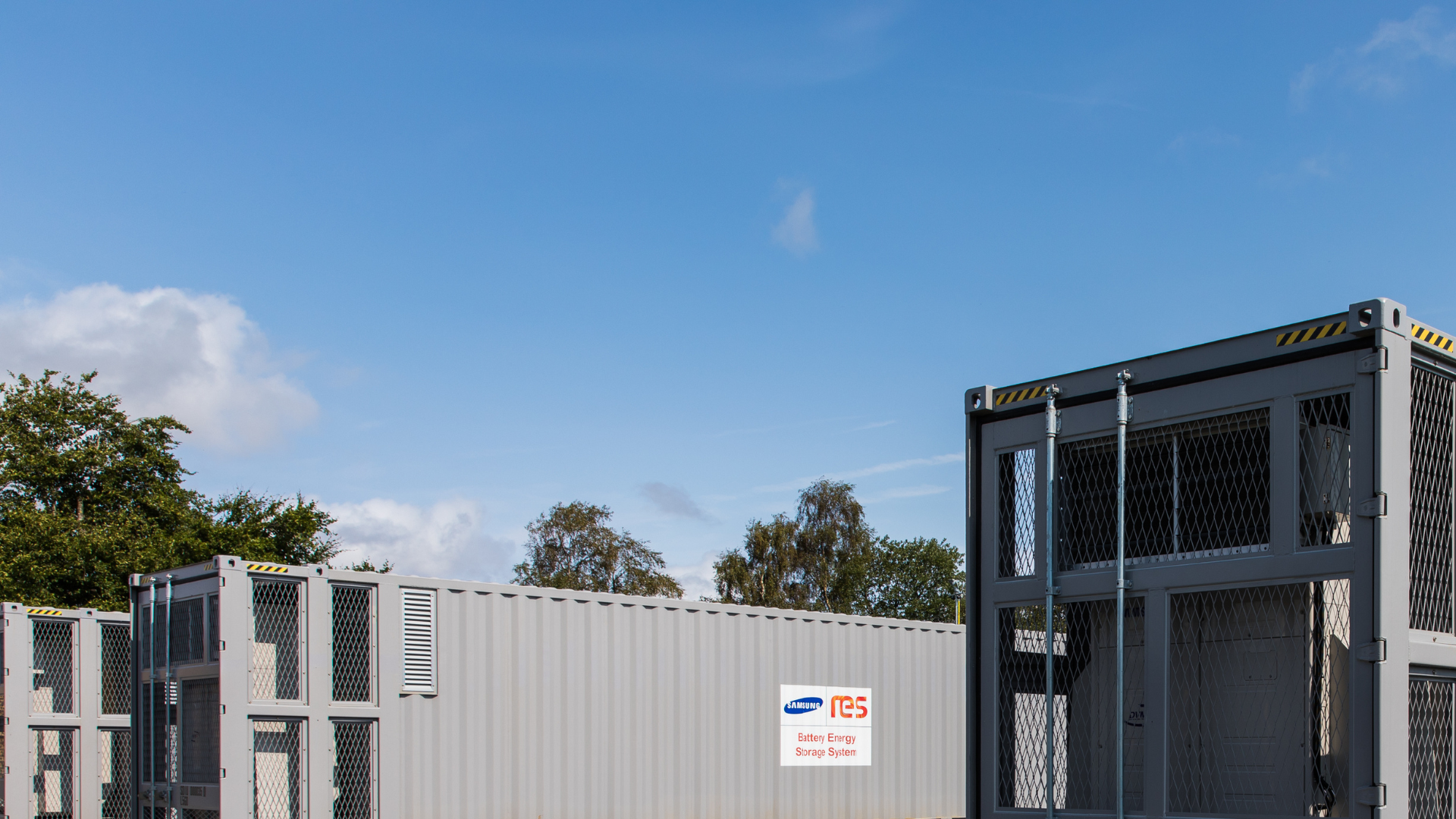
Bunyip North Energy Storage
A new energy storage project in Australia
Project Location
The project is located north of the Princes Freeway, approximately 3km from Bunyip, in the Cardinia Shire area. Click here to view in Google Maps.
Siting Considerations
The site comprises predominantly rural land currently used for cattle grazing and seasonal hay and silage, within an established infrastructure and energy corridor. The location between the Latrobe Valley generation centre and Melbourne’s major electricity demand areas aims to complement Victoria’s energy future, while proximity to existing infrastructure supports efficient integration with the grid and road network.
The site sits within the Green Wedge Zone. The Cardinia–Westernport Green Wedge Management Plan (2017) protects the area’s agricultural, environmental, landscape and cultural values while allowing essential infrastructure that delivers a net community benefit. The Project responds to these objectives by:
- Protecting agricultural uses — a low-density, confined footprint that doesn’t rely on soil or agricultural water, so the surrounding land can remain in grazing and farming
- Avoiding impacts to environmental and cultural values — careful siting with setbacks from waterways and mapped biodiversity
- Keeping visual impact low — existing vegetation and screening help reduce views of the Project, in keeping with the area’s existing character
- Delivering a net community benefit — dedicated community benefits and battery storage that supports Victoria’s energy future.
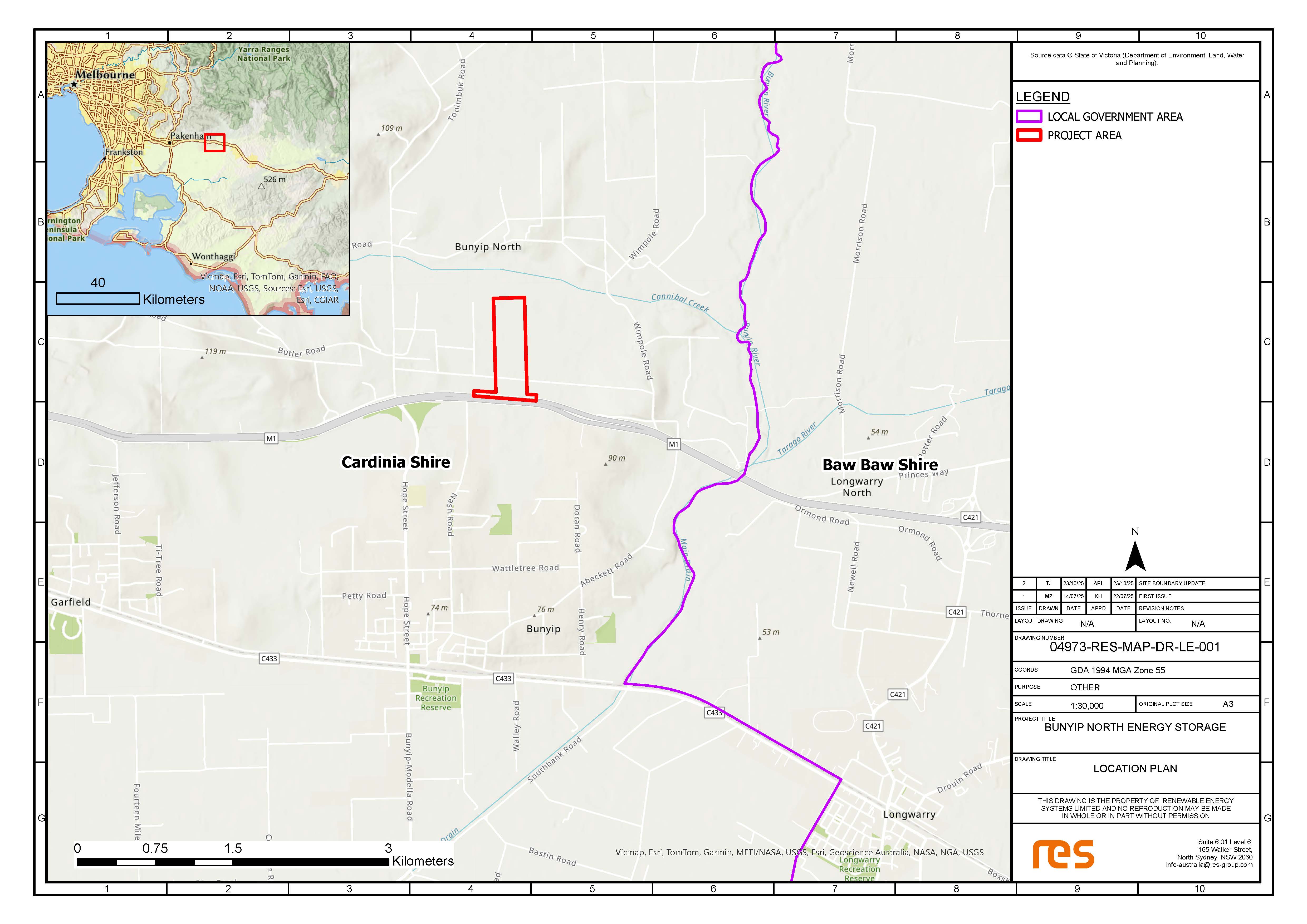
To download the location map, please click on the image above.